Applied geophysics

Seismic surveys (surface and borehole)

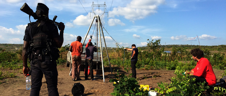
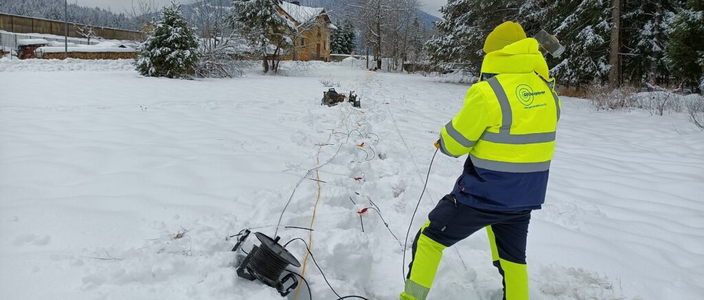
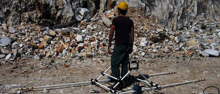
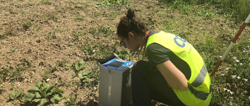
Seismic refraction, reflection, data acquisition for Vs30 calculating, monitoring of vibration and seismologic applications. The investigations are performed by employing up to 8 Geode seismograph (Geometrics) to obtain high resolution in association with passive seismic surveys in the array and single-station. By our PVC supports the results are provided also in particular contexts, such as urban centers and industrial areas. 
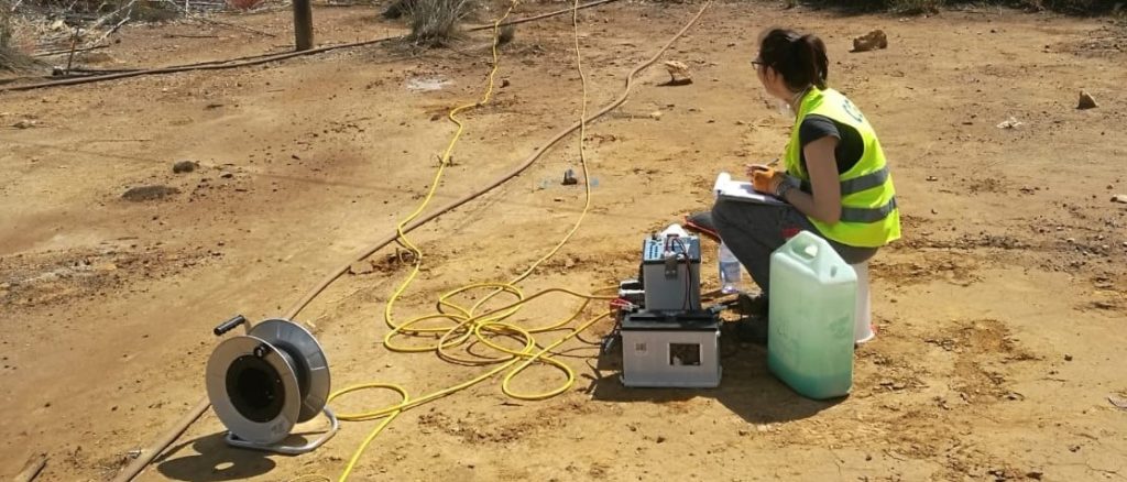
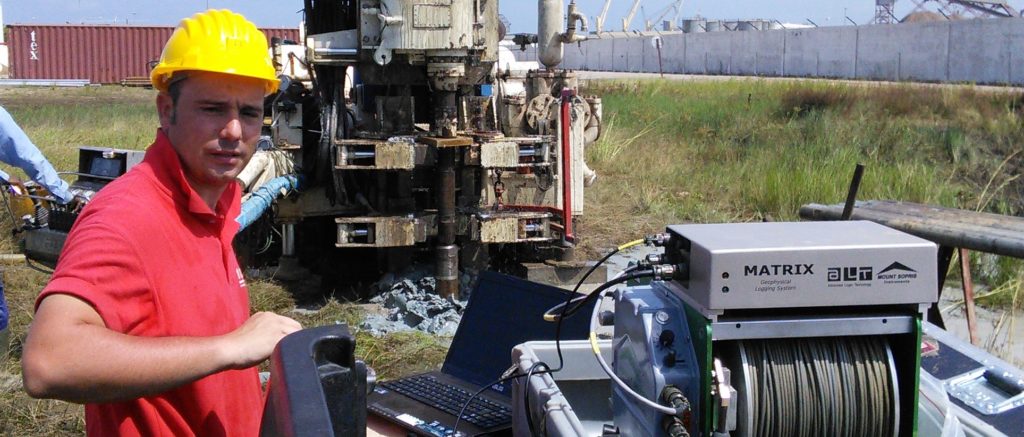
We perform Down-hole and Cross-Hole seismic surveys with reversible methods of energization up to 200 m deep. The applications range from stratigraphic reconstruction, seismic classification and identification of fracturing.

High resolution reflection seismic

GeoExplorer operates by a modular system with 8 Geode seismographs that manages up to 192 acquisition channels. GeoExplorer also works with all types of energization, expanding the range of practical applications in the geological, geotechnical profession, engineering practice and research.

GPR (low, medium and high frequencies)

Radar surveys on a variety of surfaces and different types of contexts for geology, engineering, environmental and archaeological applications. We operate with different frequency (25, 80, 200 and 600 MHz) to obtain surveys with different resolution and different investigation depths in order to the targets.

Geoelectrics 1D, 2D and 3D

Geoelectrical surveys of resistivity, chargeability and SP for the production of of 1D, 2D and 3D models. We operate with 3 complementary geo-resistivimeters (capacitive and galvanic coupling) capable of managing up to 144 measuring electrodes with 10 channels, used depending on the type of survey and the depth of the target to be investigated. By the application of this dipolar instruments is possible to work in complex logistic conditions with no trouble and getting high resolution horizontal profiles, electrical tomography and 2,5D models.

Magnetotelluric and TDEM

By modern equipment (Stratagem – Geometrics and Geonics – GTEM) we are able to work with different frequencies and recording times. We define the distribution of resistivity in the ground up to a few thousands of meters deep for reconstruction of deep stratigraphic limits and getting useful information for the exploration in the field of mining, geothermal, O&G and deep hydrogeological research.

Gravimetry and microgravimetry

GeoExplorer employs qualified staff and high precision instruments (Scintrex CG-5 AutoGrav) to determine the properties of the ground by anomalies of the gravitational field. This type of investigation is developed to solve different problems of geo-engineering, localization and monitoring of cavities and for mineral exploration.

Geophysical Log and BHTV (acoustic & optical)

Surveys are performed for detect the main hydro-geophysical parameters of the borehole (resistivity, SP, fluid temperature, fluid electrical conductivity, gamma ray and caliper) up to 1 km depth. We also scan the walls features of the boreholes by acoustic and optical BHTV. Geophysical Log is performed for recognition of lithological and structural features of the formations, as support of water-well completion and for the study of geochemical features of the fluids.